Throughout the bidding process for WorldCon, we will be telling you as much as we can about the districts of the city of Dublin; their character, history, notable people and venues and of course how to get there. We will naturally start with the location of WorldCon 87 (touchwood!) and where it sits in our city.
Dublin is at heart a port city. While it is now a thriving urban centre with a highly varied economy, its role as the gateway from Ireland to the world has been central to the city for centuries. This is why the Vikings founded their settlement Dyflin here in the first place, all the way back in the 9th century. This impacts the social and economic geography of the city in ways that you will see when you get here.
A note on terminology before we go any further; in Dublin and much of Ireland, the old English word quay is still used to denote a docking area beside a river. This would be called a wharf elsewhere, or so I am told. The word clearly shows its origins in Old French and the spelling in Modern English was influenced by Modern French. In modern Irish it is rendered as cé. The word itself has deep roots in Gaullish and proto-Celtic languages.
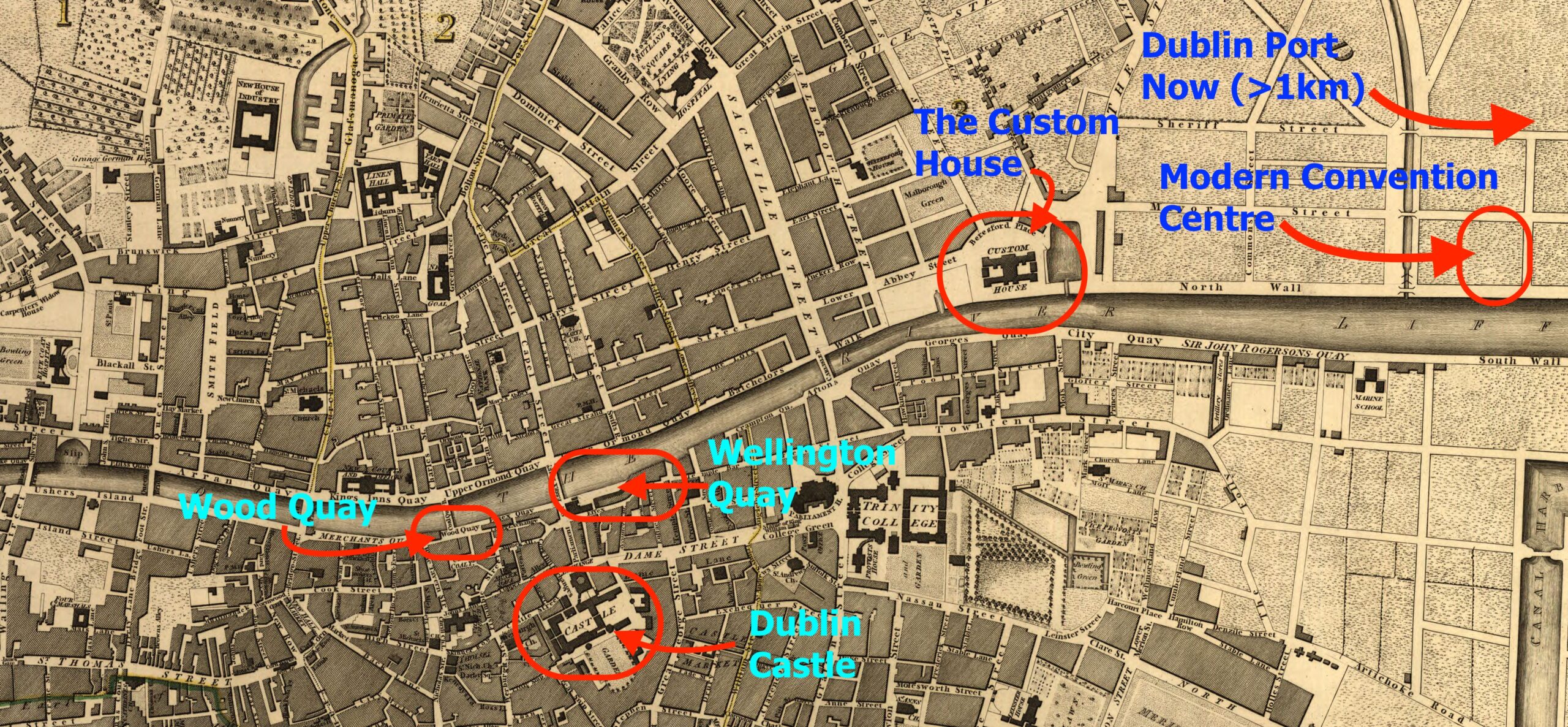
The working hub of Dublin port has moved downriver over the centuries as ships have become larger and as their number has increased. That original Viking settlement had its port in what is now Wood Quay and Dublin Castle, right in the geographic centre of the city. You can follow this evolution in the map above, which is based on one from 1797t. The port eventually moved downriver to the quays at what is now the (in)famous Temple Bar district, the industrial heart of the city in the 17th and 18th century. A Custom House was built here on Wellington Quay, operating throughout the 18th century, organising and taxing the trade of Dublin port. This was, by the by, Ireland’s first dedicated office building.
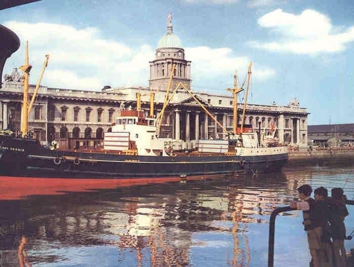
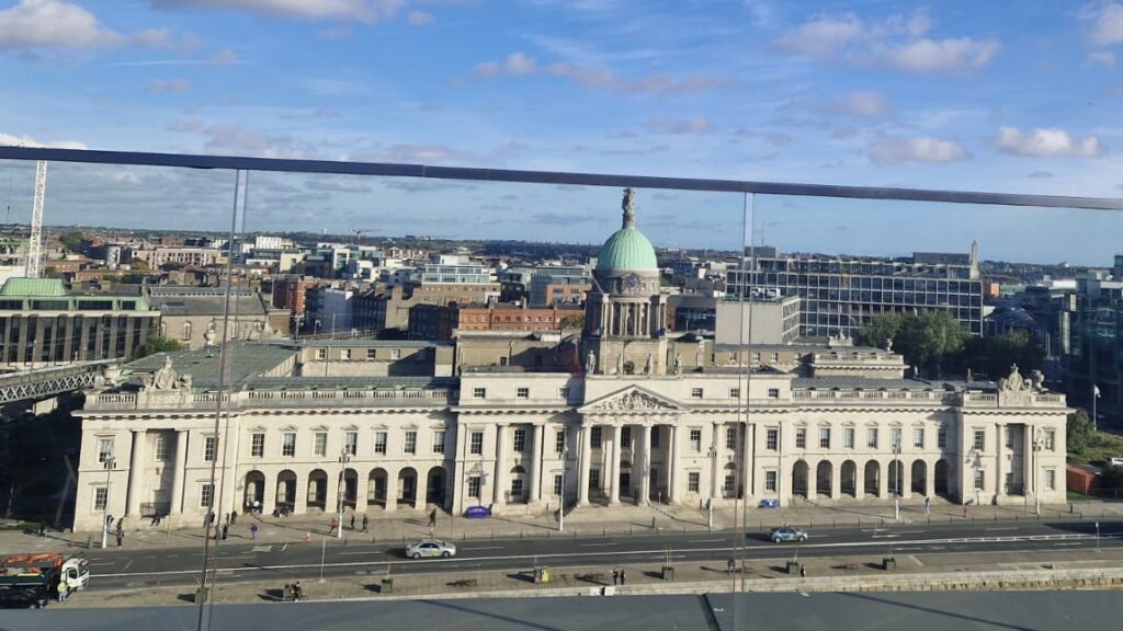
By the 19th century, the active quays were only slightly upriver of where the Convention Centre itself sits; you’ll know this when you see the magnificent current building known as ‘The Custom House’, built in 1791 by the architect James Gandon. It was controversial when it was built, not least because the site was essentially a swamp and the land had to be reclaimed. This was true of much of the riverside area of Dublin, of the modern Docklands and of the district of Fairview to the north east of the city centre.
The best view of this exemplar of Georgian architecture in Dublin is from the offices on the opposite quay or from the railway line that soars over the river Liffey near the building.
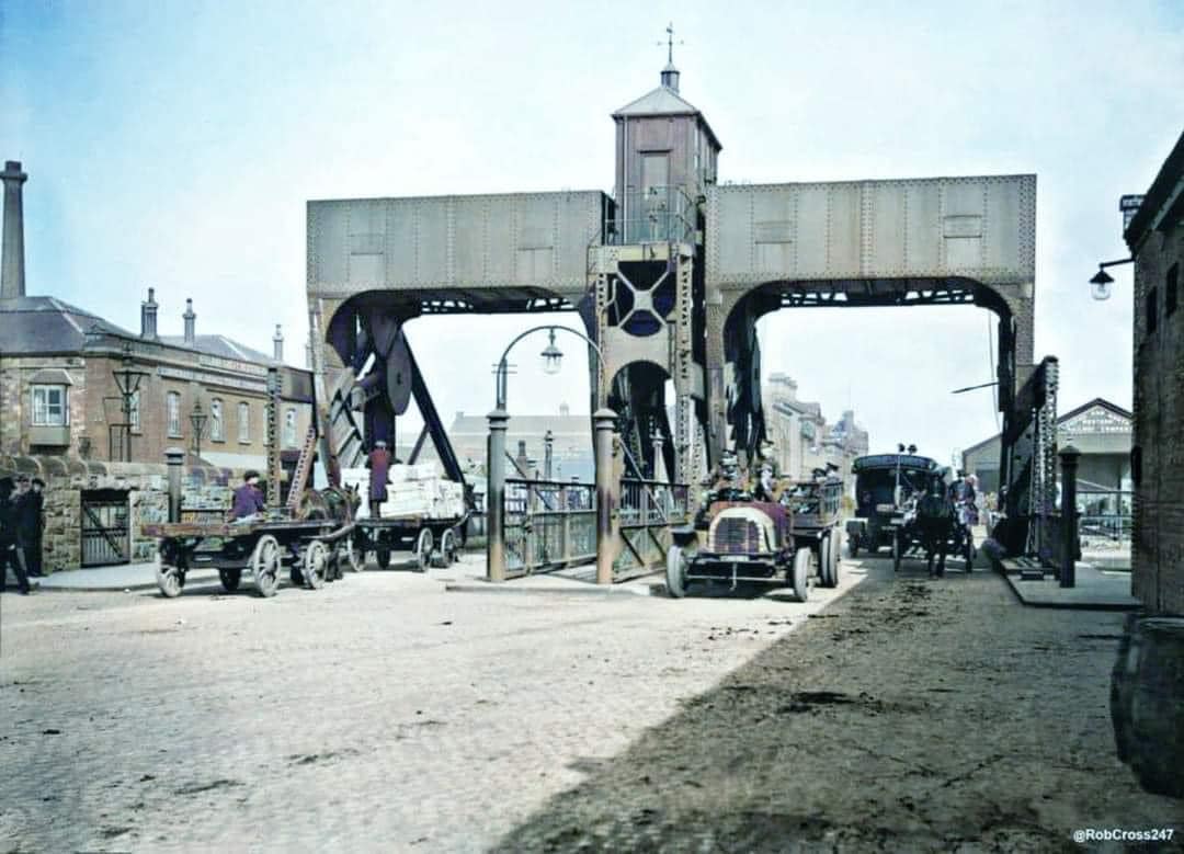
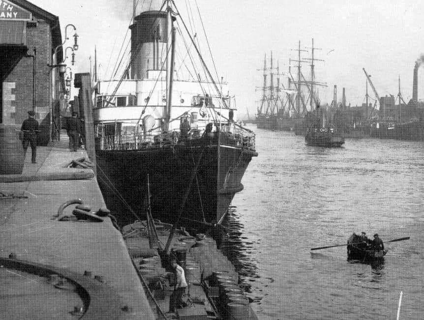
By the 20th century, the port had extended well into Dublin Bay. The streets behind the Convention Centre housed a thriving community of dock-workers and their families, making a living from the labour-intensive work of loading and off-loading cargo. Ireland’s economy in the early 20th century was dominated by the agri-food industry; enormous quantities of raw and processed foodstuffs came to this district where you are and headed out to the wider world. Included in this flow of processed products was Dublin’s most famous export, Guinness stout.
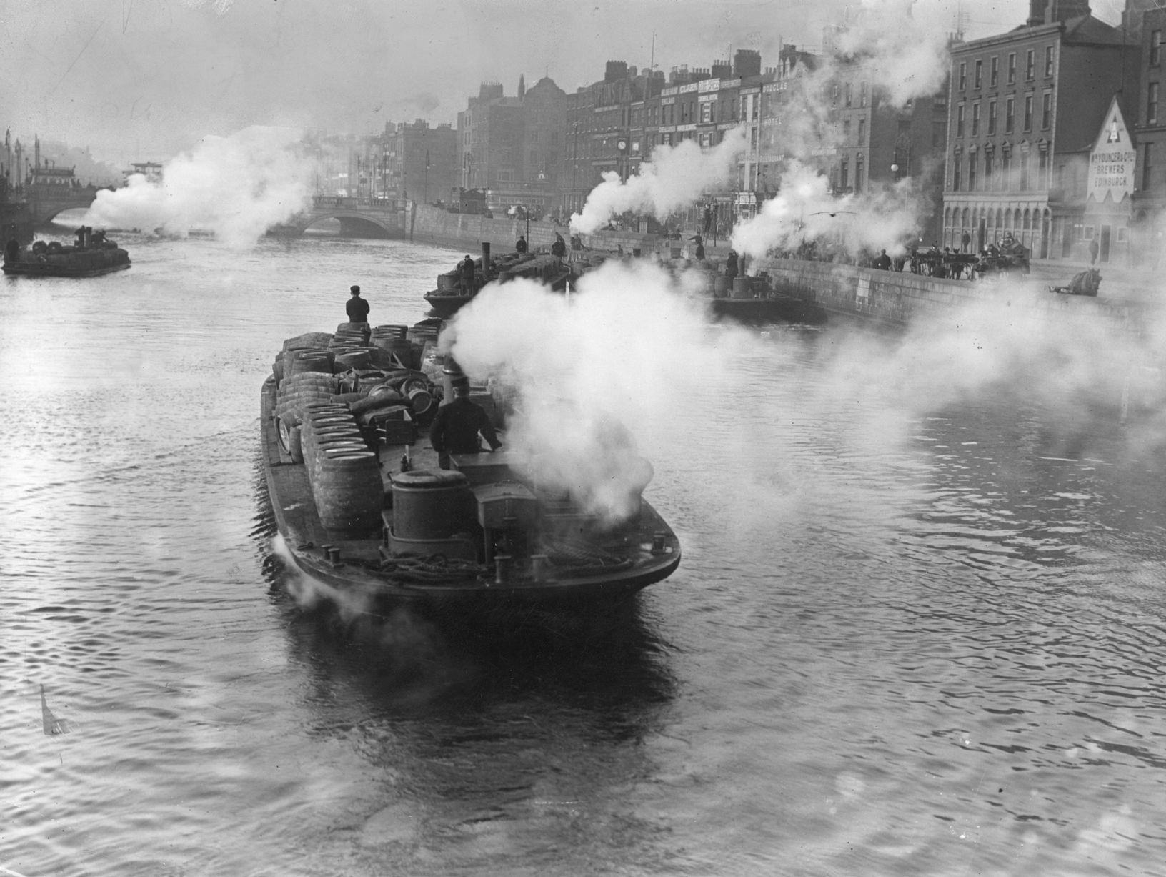
This relative prosperity was shattered by an invention and a war. With the advent of container traffic in the 1970s, as happened in much of the world, the demand for large numbers of skilled and unskilled labours evaporated. The wider Dockland communities became hotspots of high unemployment and high emigration, in a country already blighted by these social ills. Worse was to come – following the Soviet invasion of Afghanistan, the Mujahideen flooded the world with cheap heroin to fund their insurgency. An epidemic of drug addiction hit a woefully unprepared Dublin City like a hammer and nowhere was worse hit than the Dockland communities.
In the optimistic view, the Irish state learned to take on the organised criminals behind this drug importation, working with police agencies across Europe and beyond, while our health service learned how to manage this epidemic of misery. A more cynical or pessimistic view is that the first wave of addicts simply died off after ten or twenty years. Either way, the Dockland district was a scene of social, economic and even physical decay throughout the 1980s. Many families moved out to Dublin’s newer suburbs, especially in the north-east of the city, for larger housing, better jobs or simply to leave what they saw as a decaying neighbourhood.
Its regeneration started in the 1990s and has continued since – what was once two or three square kilometres of quays and the workers hosing behind them is now a forest of apartment blocks, hotels, offices and venues. Small red-brick houses, once valued for their low cost and solid construction, now change hands for small fortunes, if they have not been swept away. Large areas of derelict industrial buildings and empty warehouses have been re-imagined as museums, restaurants and other amenities. Above all, the population has soared; this is now one of the most densely populated parts of the city, whose residents might be the grandchildren of former dockworkers or, at the other extreme, from lands once only heard of in the cargo manifests of visiting ships. To older Dubliners, it is essentially a new city, with familiar, long established pubs and housing areas hidden amongst the shadows of the modern. The port is still there, but farther out again into Dublin bay.
Many cities can tell a similar story of their dockland areas, but I think that of Dublin is especially intense or perhaps emblematic of the city itself. Our links to the outside world shaped this area and it is at the heart of much of our response to the benefits and challenges of our interlinked world. For example, a decade ago, most of the ferries coming to or departing from our port headed to Holyhead and other British ports, but within a year or two of Brexit, the destinations rapidly expanded to include Cherbourg and points beyond. With WorldCon 87 hopefully coming here in 2029, the Docklands once again link Dublin and Ireland to the wider world and to the future.